How to Find and Research 4WD Tracks in Australia
Research Australian 4WD tracks using official land-manager updates, access rules, permits, difficulty and current conditions.
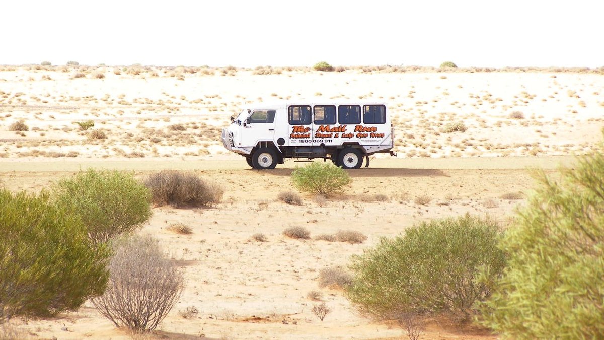
Kr.afol · CC BY-SA 3.0
Finding a track is easy; confirming that it is open, suitable for your vehicle and within your experience takes more work.
Apps, maps and social posts can help you discover places, but they should not be the final authority on access or conditions. Start with the organisation responsible for managing the land, then use community reports as additional context.
Start with the land manager
Check the official site for closures, permits, bookings, vehicle restrictions, fire restrictions and access times. Some tracks close seasonally or after rain, fire, erosion or maintenance work.
Confirm whether the route is open to public vehicles and whether a permit or fee is required. Do not assume that a track visible on a map is legally accessible.
If the official information is unclear, contact the land manager or choose a route with clearer guidance.
Assess difficulty for your vehicle and skill
Look for information about surface, gradients, clearance, water crossings, narrow sections, recovery options and turnaround points. Difficulty labels are not always standardised across apps and regions.
A track described as “easy” may still become difficult after rain or for a low-clearance vehicle with road-focused tyres.
Consider the least-experienced driver and least-capable vehicle in your group. Check whether your vehicle’s tyres, clearance, drivetrain and recovery points are appropriate.
A modified vehicle is not automatically better suited to every track, especially if accessories have increased weight or reduced payload.
Use community reports carefully

Recent trip reports can help you understand what a route felt like on a particular day, but conditions can change quickly.
Check the report date, weather and vehicle setup, and look for several independent accounts rather than treating one video as proof that the track is safe or open.
Photos often omit the difficult approach, turnaround options or recovery effort behind the final shot. Do not infer that a route is suitable for you because someone else completed it.
Use reports to generate questions, then verify access and current conditions with the official source.
Plan navigation and contingencies
Download maps or carry navigation that remains usable without mobile data. Record key junctions, exit routes and nearby services, and tell someone your itinerary and expected return time if travelling remotely.
Carry water and supplies appropriate to the route and the possibility of delay.
Check weather, road closures and emergency warnings before departure and again if conditions change. Never enter floodwater or a closed track.
If the route becomes more difficult than expected, turn around at a safe point rather than continuing because you have already driven a long way.
Build a personal track record
After the trip, record the route, date, conditions, vehicle setup and any issues encountered. Note which equipment was useful and what you would change next time.
This creates a more reliable personal reference than trying to remember details from a photo gallery.
Wired Build can help keep vehicle setup, trip costs and maintenance notes together. Still, use official land-manager information for access and closures each time you visit; a previous successful trip does not establish that a track is open today.
Build a shortlist before committing
Choose two or three routes that appear to suit the group, then compare access, distance, difficulty, nearby services and exit options. Check the official land manager for each route and remove any option with unclear access or a closure.
This prevents the plan from depending on one track that turns out to be unavailable.
Keep a backup route that is genuinely easier, not merely a different track of unknown difficulty. Tell the group what would trigger a change of plan, such as heavy rain, a vehicle fault or a closure.
A fallback is useful only if everyone knows it exists and agrees to use it.
Frequently asked questions
Are 4WD track apps reliable?
They can be useful for discovery and navigation, but verify access, permits and closures with the official land manager.
How do I know if a track is too difficult?
Compare the terrain and hazards with your vehicle, experience, recovery skills and available support. If key information is missing, choose a simpler route.
Can I rely on an old track report?
No. Use reports as context and check current conditions before departure.